CROSSING THE NULLARBOR
The apps and resources people crossing the Nullarbor actually use, checked and verified today, not a copy-paste list from 2019.
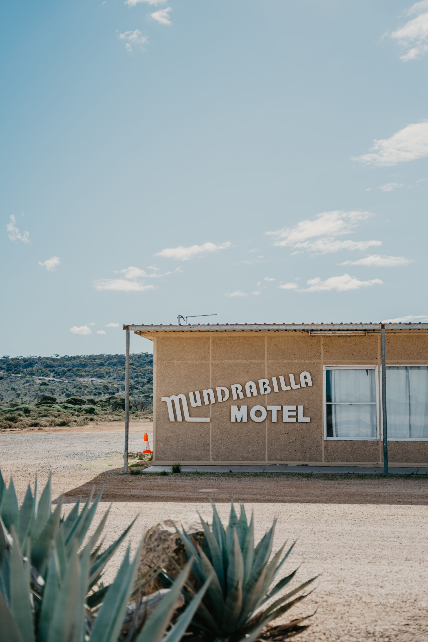
We’re the roadhouse at the halfway point, 66km from Eucla, 116km from Madura, and the only fuel or rest stop for about an hour’s drive in either direction. We watch thousands of crossings a year from behind the bowser, and we see travellers turn up with either the right apps downloaded and a full tank, or neither. This page is the second kind, fixed: the apps and resources people crossing the Nullarbor actually use, checked and verified today, not a copy-paste list from 2019. No sponsorships, no affiliate links, just what works.
Fuel: find it and time it right
PetrolSpy Australia — Compares live fuel prices across WA, SA and every other state, and pulls official government price data (including WA’s FuelWatch feed) so the numbers are accurate, not guessed. Download it and check prices before you lose signal, it needs a data connection to update, so it’s a pre-departure tool, not a mid-Nullarbor one. Free (contains ads). iOS and Android. Rated 4.7★ on Google Play (65,000+ reviews, checked 22 July 2026).
FuelWatch WA — The Western Australian Government’s official fuel price service. WA’s transparency law forces stations to lock in tomorrow’s price by 2pm today, so you can genuinely plan a fill-up a day ahead. It’s a website and email alert service, not an app, bookmark it before you leave phone range. Covers the WA side of your trip only.
A note on our own prices: call us on (08) 9039 3465 for today’s price, or check our live FuelWatch listing above, it’s always current. And yes, we stock unleaded 91, diesel and AdBlue, 24 hours. See our fuel page for the full details.
Weather
BOM Weather — The Bureau of Meteorology’s own app: hourly and 7-day forecasts, rain radar, and official warnings. It’s the only weather app on this list with a genuine offline mode, which matters when you’re checking yesterday’s forecast because today’s has no signal to load. Free, ad-free. iOS and Android.
Road conditions
Neither of these has an app, both are websites, and we’re not going to pretend otherwise. Check them the night before you leave phone coverage, because you won’t be able to once you’re on the open stretch.
Main Roads WA Travel Map — Live closures, roadworks and incidents for the Western Australian side of the highway, including rest area and amenity locations.
SA Outback Road Report (SA Dept for Infrastructure and Transport) — Covers the South Australian side. Also reachable by phone on 1300 361 033 if you’d rather talk to someone before you go.
Camping: WikiCamps vs. CamperMate
Both of these do the same core job, campsite locations, reviews, amenities, dump points, and both work properly offline, which is the only feature that actually matters out here. Here’s the honest, checked-today comparison:
WikiCamps Australia — The bigger database (65,000+ listed sites) and the name most grey nomads already know. Genuine offline mode. One-off purchase, $9.99 per platform (not a subscription). iOS and Android. Ratings are split by platform: 2.5–2.6★ on Google Play (checked 22 July 2026), noticeably lower than its reputation suggests, with recent reviews flagging login errors and a sluggish trip planner, but 4.5★ from 17,000+ ratings on the Apple App Store (checked 9 August 2026), a genuinely different picture. Still worth having for the database size, but check reviews for your own platform before you decide.
CamperMate — Same core features, and genuine offline maps that stay current without expiring. Free (contains ads). iOS and Android. Current App Store rating: 4.4★ from 1,500+ ratings (checked 22 July 2026), meaningfully better-reviewed right now than WikiCamps, despite the smaller name recognition.
Our honest take: it depends on your phone. On Android, CamperMate currently has the better live rating and it’s free, WikiCamps’ Google Play reviews are rough right now. On iPhone the picture flips, WikiCamps rates just as well there. If you want the biggest possible database of free camps, WikiCamps is still worth the $9.99 regardless of platform; plenty of experienced travellers run both apps side by side.
Navigation and offline maps (the most important download on this list)
Long stretches of this highway have no signal at all. Whatever you use for turn-by-turn directions, it has to work without data.
Google Maps (offline maps feature) — Free, and most people already have it. Before you leave signal range, open the app, tap your profile icon → Offline maps → Select your own map, and drag the box over the whole Nullarbor corridor (Norseman to Ceduna, to be safe). Two things catch people out: offline mode only supports driving directions (no walking/cycling), and the downloaded map expires after about 15 days if your phone doesn’t reconnect to wifi. Download it the night before you leave, not two weeks out.
Hema Explorer / 4WD Maps — Built specifically for offline touring, with proper topographic detail and 40,000+ points of interest, not just roads. Worth it if you want a real backup beyond Google’s driving-only offline mode, or if you’re planning any side tracks. Paid (subscription or one-off, depending which Hema product you choose, check current pricing in-app before buying). iOS and Android.
Emergency
Emergency+ — If you only download one thing before this trip, make it this one. It’s the official Triple Zero (000) app built by Australia’s emergency services, and it sends your GPS location straight to the call-taker, critical on a highway where “somewhere on the Eyre Highway” isn’t good enough for a response crew to find you. The location feature (built on what3words) works even with no data connection, using GPS alone. Free. iOS and Android. Rated 3.9★ from 500+ ratings (checked 22 July 2026, directly against the live App Store listing).
what3words — The location system built into Emergency+, also available standalone. Divides the whole world into 3-metre squares, each with a unique 3-word address, and works fully offline via GPS. Most people only need Emergency+, but it’s worth knowing the name if you’ve heard of it elsewhere. Free.
No signal? Here’s what to do
This is the bit most Nullarbor guides skip. Mobile coverage on this stretch is genuinely patchy, Telstra has permanent coverage at Madura, Cocklebiddy, Caiguna and Balladonia, but the sections between those towns, and the run across into South Australia, can drop out completely. Here’s what actually works:
- Download everything before you leave phone range, offline maps, Emergency+, your camping app data. Not “before you leave home”, the night before you leave the last town with signal, so nothing’s expired.
- Tell someone your route and rough timing before you set off, and check in again once you’re back in range.
- If you break down: pull well off the road, stay with your vehicle, and use it as shelter, this is genuinely remote country, and a vehicle is easier to spot than a person on foot.
- We’re a real stop, not just a fuel bowser. If you’re in trouble on our stretch of highway, Mundrabilla Roadhouse is a staffed, 24-hour point on the map, and we offer free Starlink wifi on-site, independently confirmed by recent guest reviews as genuinely reliable, so it’s a real place to reconnect, charge devices, and check the road ahead before you continue.
- Carry a paper map as backup. It doesn’t need a battery or a satellite fix. Old advice, still correct.
Where to stay and refuel on your crossing
We’re a family-run stop on the Eyre Highway with 24-hour fuel (unleaded 91, diesel, AdBlue), a restaurant and bar, and motel rooms and powered/unpowered caravan sites if you’d rather break the drive up than push straight through. Find out more about what’s on offer at the roadhouse, or get in touch if you’ve got questions before you set off.
FAQS
How far apart are the fuel stops crossing the Nullarbor?
It varies, but you should never plan on more than roughly 200km between fuel options on this stretch, closer to 116km on our specific section (Mundrabilla to Madura). We’re the only fuel and rest stop for about an hour’s drive either side of us. Always fuel up when you see a servo, even if you think you have enough, this isn’t the highway to run it close.
How much fuel do I need to cross the Nullarbor?
This depends on your vehicle and exact route (Norseman to Ceduna is roughly 1,200km), so we won’t give you a single number that might be wrong for your car, check your own tank range against the fuel-stop distances above using PetrolSpy or the Main Roads/SA DIT sites before you go, and always keep a safety margin rather than planning to arrive on empty.
Is Mundrabilla the only fuel stop between Madura and Eucla?
Yes. We’re 116km from Madura and 66km from Eucla, and there’s no other fuel or rest stop in between, genuinely the only option on this section, not just the most convenient one.
What's the distance from Mundrabilla to Eucla?
66km. Madura is 116km in the other direction. (These are our own confirmed distances, not a third-party estimate.)
How do I check Nullarbor road conditions before I leave?
Check both sides separately, since they’re managed by different states: the Main Roads WA Travel Map for the Western Australian section, and the SA Outback Road Report (or call 1300 361 033) for South Australia. Do this the night before you leave phone signal, not once you’re already on the road.
MUNDRABILLA ROADHOUSE
Phone
Home
About Us
Roadhouse
Contact Us